Premium Listing
Jhomolhari Trek - 11 Days - 11 Days
Bhutan - Trekking Tours

Tour Itinerary
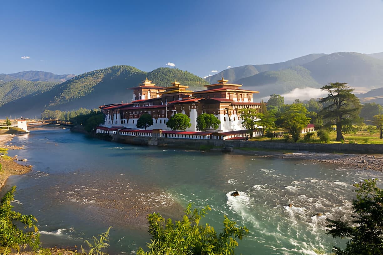
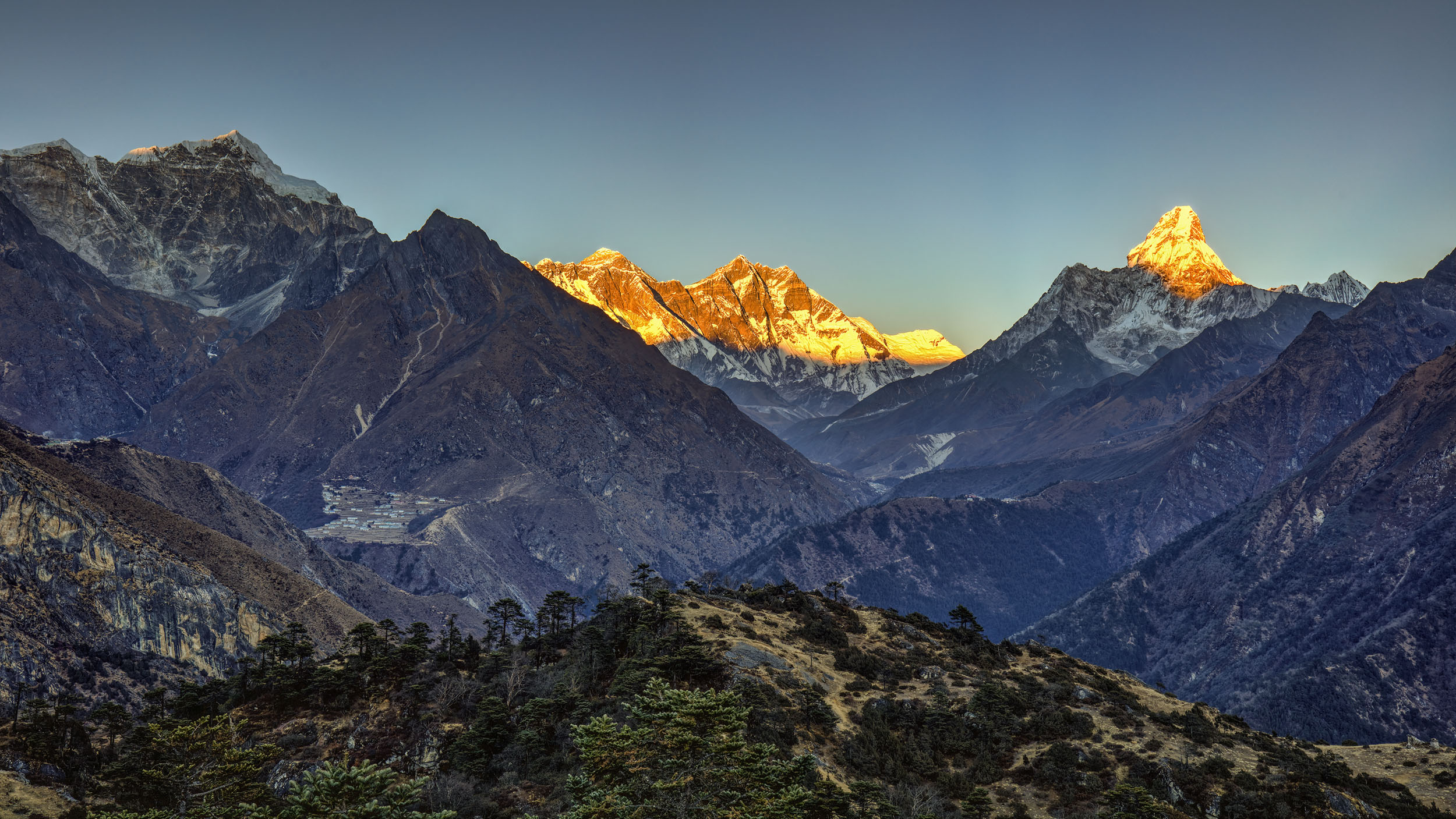
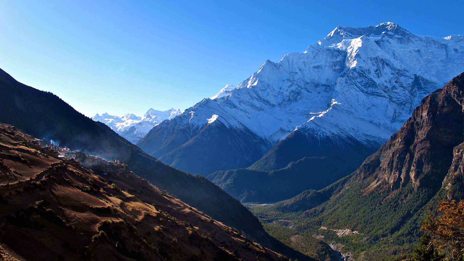
Distinctive and remote, the Himalayan Kingdom of Bhutan offers a unique experience. From the stunning scenery and vegetation to the vibrant traditional dress, prepare to be intrigued by the imposing dzongs and Buddhist traditions of the ‘Land of the Thunder Dragon.Towns, Dzongs and temple are one aspect of Bhutan, but the majority of the country is deep forests with a scattering of tiny settlements and high grazing lands. A trek provides the best opportunity to experience the real heart of Bhutan and to get insight into the rural culture of the kingdom through contact with people in remote villages and the staff accompanying you.
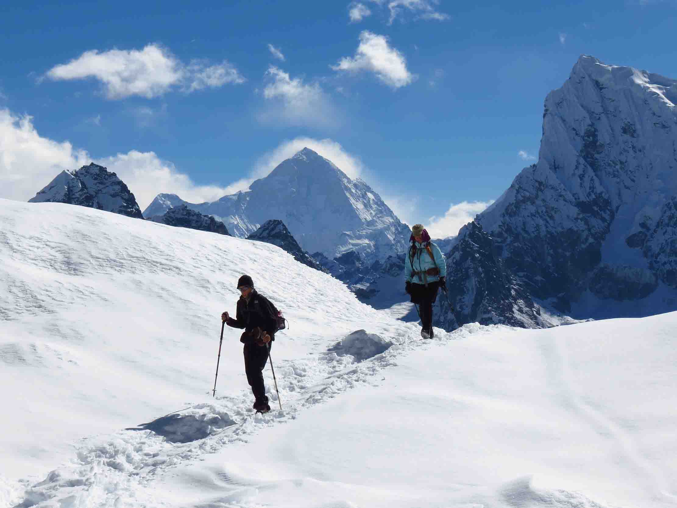
The first three days of the Jhomolhari Trek follow the Paro Chhu valley to Jangothang, climbing gently, but continually, with a few short, steep climbs over the side ridges. It crosses a high pass and visits the remote village of Lingzhi, then crosses another pass before making its way towards Thimpu. The last four days of the trek cover a lot of distance and require many hours of walking. The trek also affords an excellent opportunity to see yaks.
Day 1: Arrival in PARO
When you arrive in Paro airport, you will be met by our Bhutanese representative and guide who will escort you to the hotel after the custom formalities at Paro airport. Meals: Breakfast, Lunch, Dinner
Day 2: Trek to SHARNA ZAMPA
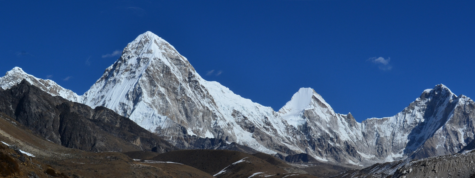
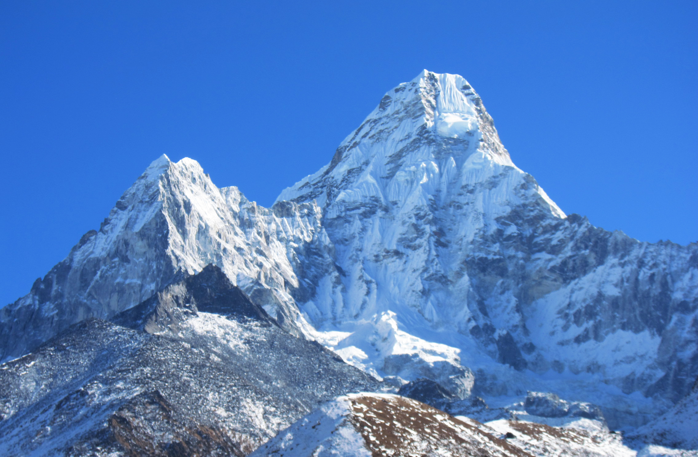
On a clear day, we can see the snow-covered peak of Jhomolhari in the distance. A short distance upriver is the small settlement of Chang Zampa. Walking a distance takes us to the settlement of Mitshi Zampa. Here the route leaves the road and crosses to the left bank of the clear, fast flowing Paro Chhu via a swiss built suspension bridge at 2540m. The route enters an area of apple orchards and blue-pine and fir forests. Soon, the valley widens and we reach the army post of Gunitsawa at 2810m. Below the Gunitsawa, the trail crosses the Paro Chhu to river right on a wooden cantilever bridge at 2790m. It then climbs to Sharna Zampa, a camping place in meadows surrounded by trees 2850m. Meals: Breakfast, Lunch, Dinner
Day 3: Trek to THANGTHANGKA
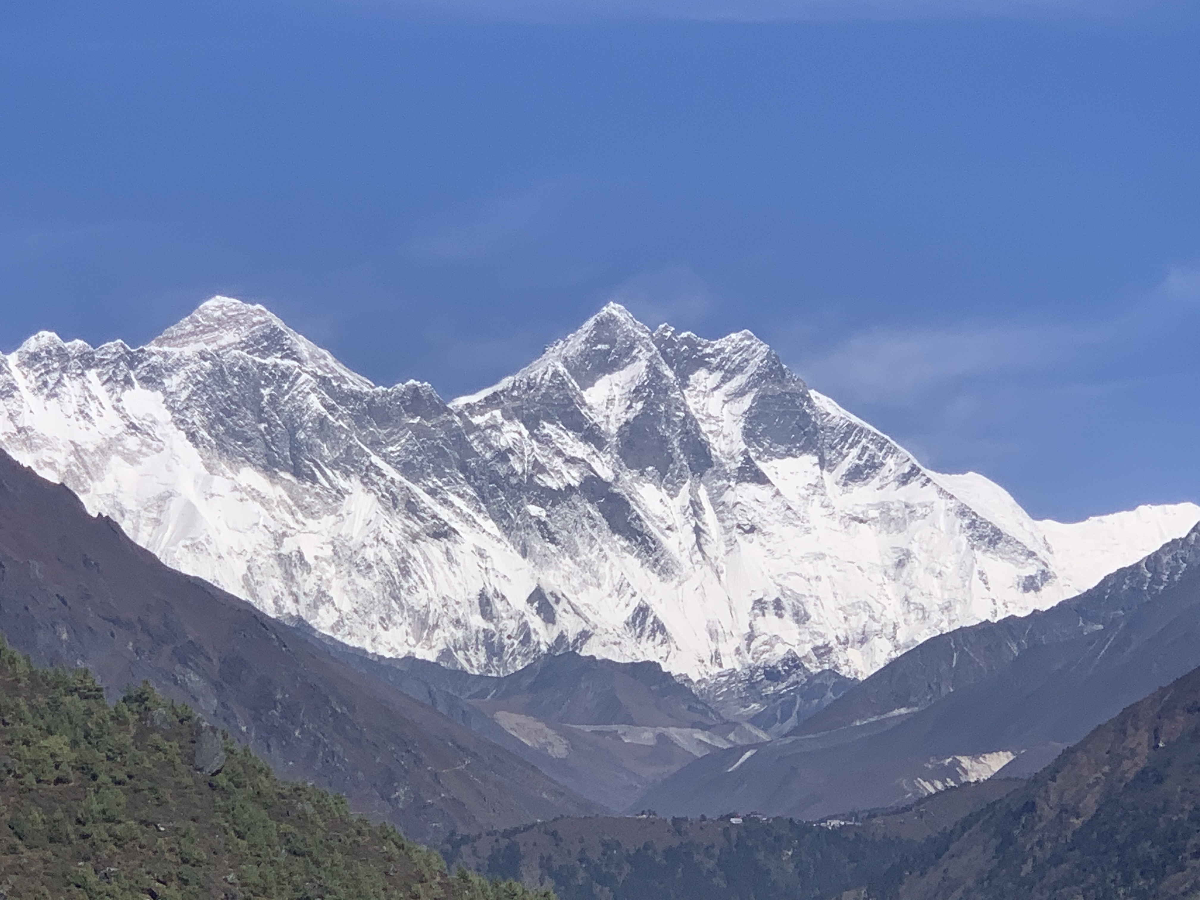
This is a long, hard day with lots of short ups and downs of 10m to 20m. its made more strenuous because of all the rock-hopping necessary to avoid mud holes. The trail continues its gradual climb alongside the Paro Chhu through conifers and rhododendrons.At 15 minutes beyond Sharna Zampa are the remnants of an old bridge with a house and a chorten on the other side. At this point the route enters Jigme Dorji national Park. After three hours of trekking there’s a bridge back to river right of the Paro Chhu at 3560m. We follow the trail on river right as it turns a corner where there is an outstanding view of Jhomalhari.15 minutes from the bridge is a lovely meadow with Jhomolhari looming at the head of the valley. This is Thangthangka(3160m) where there is a small stone shelter and a Bhutanese –style house in a cedar grove at the edge of the meadow. Meals: Breakfast, Lunch, Dinner
Day 4: Trek to JANGOTHANG
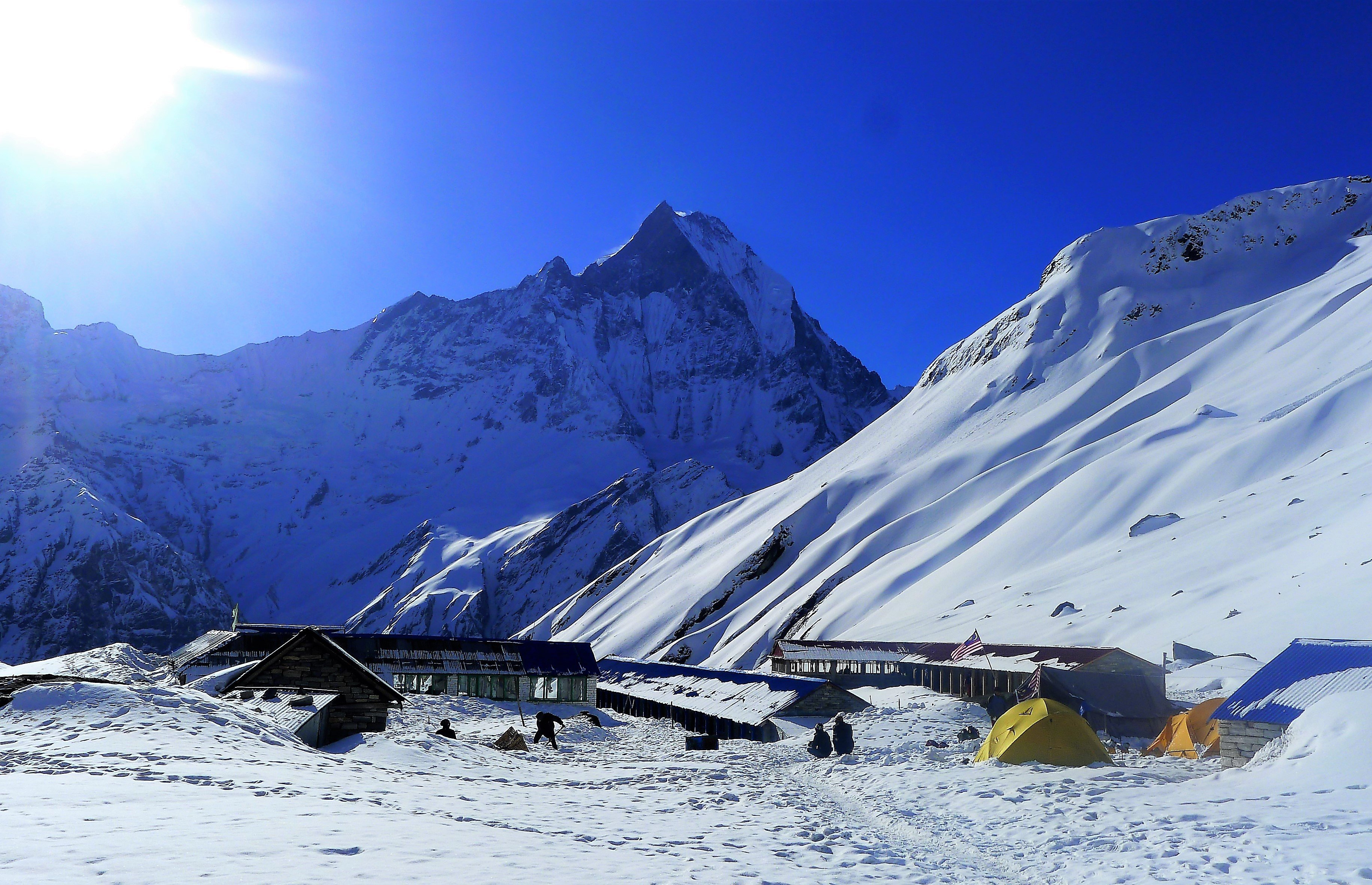
As we climb beyond the camp, Jhomalhari disappears behind a ridge. The trail crosses a wooden bridge over a fast-flowing stream a short distance beyond the army post. At 3770m/12,441ft, about one hour from camp, the trail turns sharply right at a whitewashed mani wall. There are two trails, an upper and a lower route. Both contour up the valley from the chortenand end up near the riverbank, following the bottom of the valley as it makes a sharp bend to the right. Above the trail is the village of Soe. One hour beyond Soe is the settlement of Takethang, a cluster of stone houses on a plateau at 3940m/13,002ft.The trail follows straight across the plateau, high above the river. It then crosses a little stream on a bridge made of big stones laid on logs. On the opposite side are a white chorten and a few houses of Dangochang. It is slow going uphill beside a side stream to the camp at Jangothang (4080m) and a spectacular view of Jhomolhari. This is a popular trek route and Jangothang is one of the most spectacular camping places in the entire Himalaya. Meals: Breakfast, Lunch, Dinner
Day 5: Acclimatisation Day and Exploration of JANGOTHANG
There are four major possibilities for day hikes. The first and best, is a three-to- four hour excursion up the ridge to the north of the camp. There’s no trail, but it’s a broad open slope and we can just scramble up it. The ridge is endless, but after an hour or so of climbing there is a good view of Jichu Drakye.
A second alternative, which can be combined with the walk up the ridge, is to trek up the main valley towards the last house, then continue up the valley towards Jichu Dakye.
A third hike is to go up towards the head of the valley in the direction of Jhomolhari.
The last alternative is an expedition to Tshophu, a high altitude lake. It takes about an hour to get to the top of the ridge and then another 30 minutes following a stream to the lake. Meals: Breakfast, Lunch, Dinner
Day 6: Trek to LINGZHI
Jangothang is the last settlement in the valley and it’s an extremely isolated place. Near the houses the trail turns a corner and there’s a spectacular view of Jichu Drakye. Jichu Drakye towers above the Paro Chhu valley and soon the top of Jhomolhari appears over the ridge above the camp at Jangothang. The snow peak in the middle is a secondary summit of Jhomolhari. There is a false summit with a cairn at 4680m/15,355ft. As the trail approaches the ridge, we can see Jichu Drakye to the northwest. The final pull is up a scree slope to Nyile La(4870m/15,978ft),about four hours from the camp. As Nyile La is frequently very windy, we probably won’t stay long on the pass. After a long descent, the trail now travels north; contouring along the side of the hill high above the valley. The trail descends steeply into the large Jaje chhu village valley. Lingzhi is up the obvious trail on the opposite side of the Jaje Chhu. Meals: Breakfast, Lunch, Dinner
Day 7: Trek to SHODU
Walking about three hours from the camp, the trail crosses the Mo Chhu. The trail climbs steeply up the side of the main valley and crosses into a large side valley, climbing above a stream. It then makes an impressive climb up the headwall, switch backing through rocks to a large cairn atop Yeti La at 4930m/16,175ft. From this pass, on a clear day, we can see Jhomolhari, Gangchhenta and Tserim Kang. The trail follows the outflow from the lake, descending into another huge valley and another, larger lake, Khedo Tsho at 4720m. Descending from upper Wang Chhu valley, we cross the south bank (river right) of the Wang Chhu on a log bridge, the trail transverse a narrow, sandy slope to a camping place at Shodu(4080m/13,386ft), just at the tree line. Meals: Breakfast, Lunch, Dinner
Day 8: Trek to BARSHONG
After leaving Shodu, the trail transverses under steep yellow cliffs with a few meditation caves carved into them. Descending on a steep stone staircase, the trail reaches the river, crossing it on a log bridge at 3870m. For the next three hours the trail crosses the river five more times, slopping through muddy cypress forests on the south slope and hugging the steep canyon walls and crossing large side streams on the northslope, eventually ending up on the north bank(river left) at 3580m. The route climbs gradually for one hour to Barshong, where there is a dilapidated community hall and the ruins of a small dzong. Meals: Breakfast, Lunch, Dinner
Day 9: Trek to DOLAM KENCHO
The trial descends gently through a dense forest of rhododendron, birch and conifers, then drops steeply on a rocky trail to meet the Wang Chhu. Thirty minutes of walking through a large forest leads to a clearing known as Ta Gume Thang(waiting for horses) at 3370m. We stay on river left, climbing over ridges and descending to side streams. The route then makes a steep climb to 3340m. After transversing for about 30 minutes in rhododendron forests, a trail leads off to the right. This descends to Dolam Kencho, a pleasant camp in a large meadow at 3320m. Meals: Breakfast, Lunch, Dinner
Day 10: Trek to DODINA and Drive to THIMPU
From the camp the trail climbs back to the trail, reaching a crest with a cairn at 3430m, and then climbs again to a pass at 3120m. The other short decent and climb through bamboo forest leads to a rocky stream bed, which the trail follows down to the remains of a logging road along the Wang Chhu at 2720m. It is then a 15-minute walk south along a rocky route to the roadhead at Dodina (2640m), opposite the bridge that leads to Cheri Gompa.From Dodina, it is a 30 minute drive to Thimphu. Meals: Breakfast, Lunch, Dinner
Day 11: Drive to PARO
After early breakfast, we drive to airport for departure. Druk Air generally departs in the early morning to avoid adverse weather conditions. Meals: Breakfast, Lunch, Farewell Dinner
Cost Include
Tours Specified in the itinerary.
Best hotel accommodations, “A” grade hotels (Government approved 3 stars and above)
Meals (Breakfast, Lunch, Dinner, Tea/Coffee with snacks as and when required)
All land transportation by private vehicle within Bhutan as per the itinerary.
Services of experienced and English speaking guide (Government Licensed holder)
Mineral water on long trips both on trek and cultural tours.
Mineral water during all meals.
Museum fees and other special entry fees.
All necessary permits for entering Dzongs, Monasteries, Monuments and restricted areas.
Visa and TDF fees.
Government royalty, tax and fees.
Service charge.
Cost Exclude
Airfare for international flights to and from Bhutan
Items of a personal nature (personal gear, telephone calls, beverages, internet, laundry, etc.)
rip cancellation and medical/evacuation insurance
Tips for staff (guide and driver)
Travel insurance
Entrance fees in Kathmandu


