Gosainkunda Pass Trekking - 7 Days
Nepal - Trekking Tours
Tour Itinerary
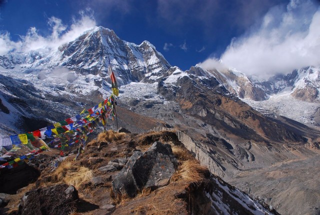
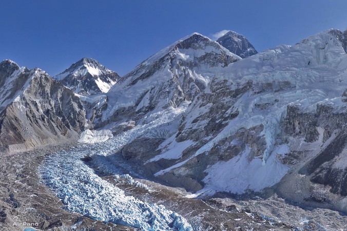
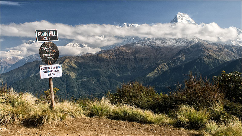
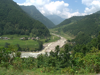
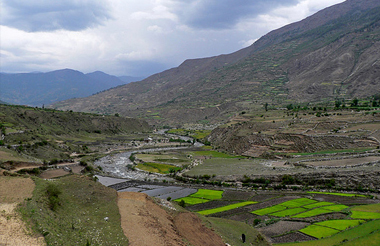
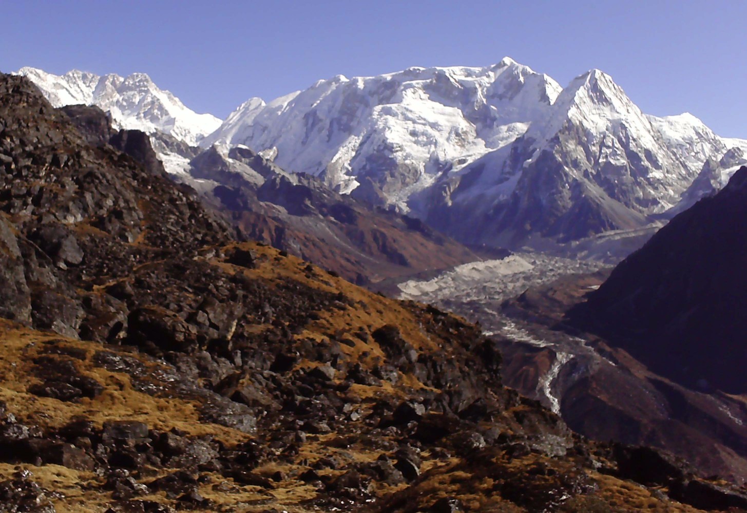
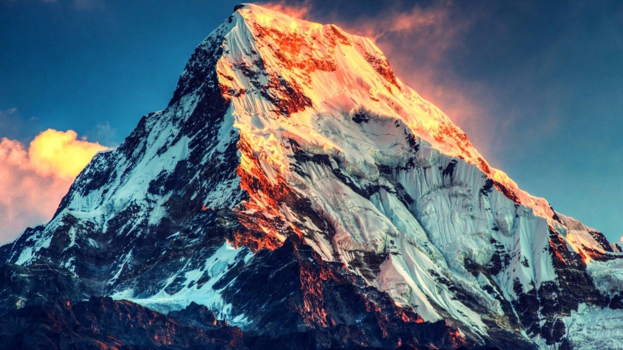
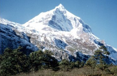
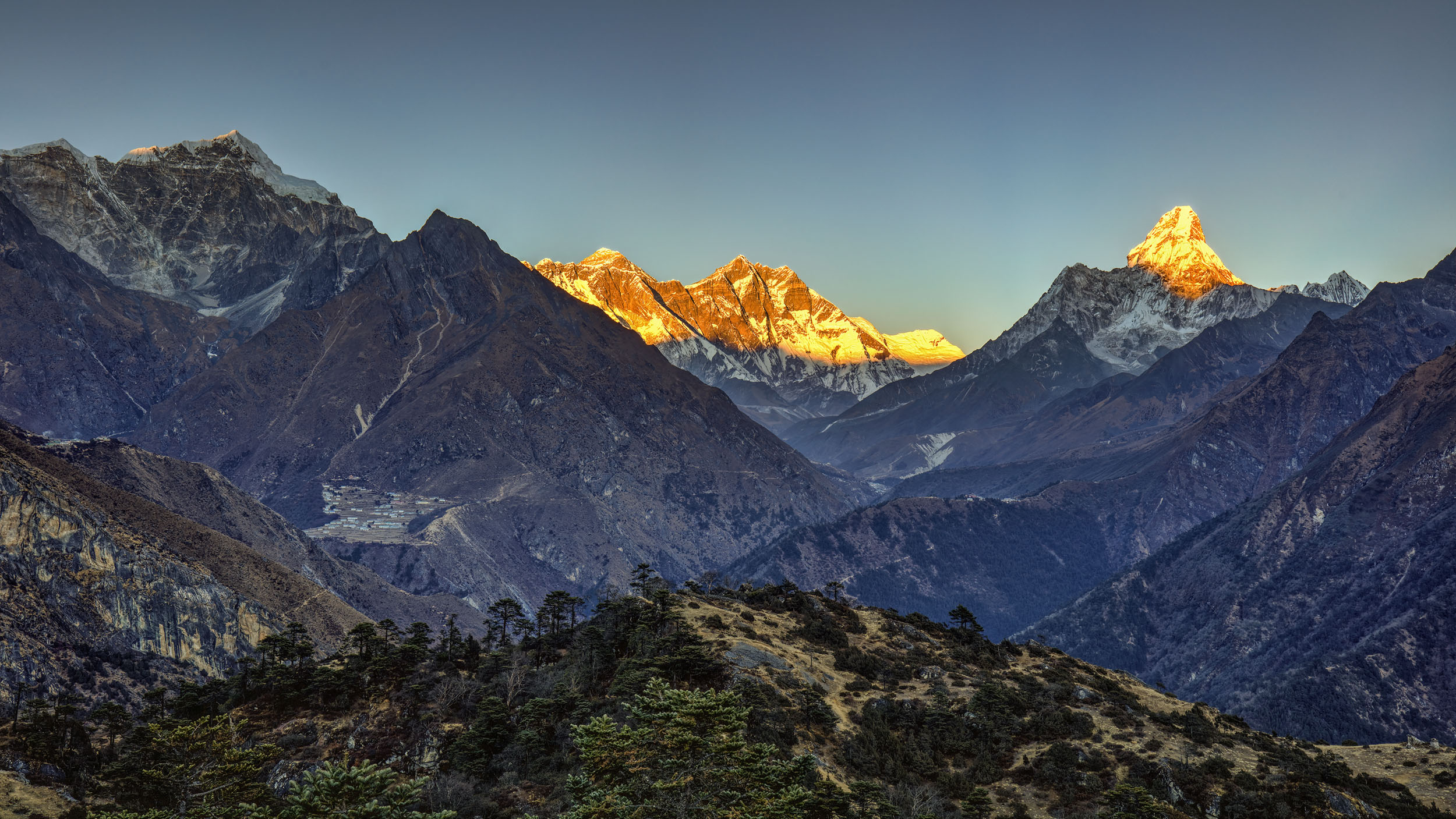
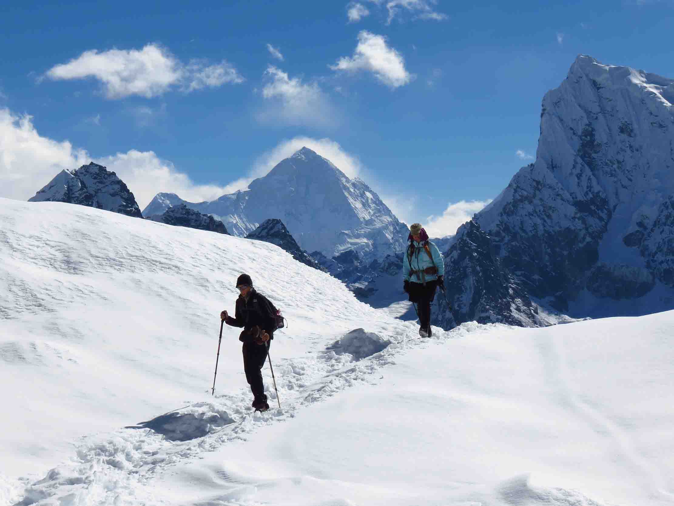
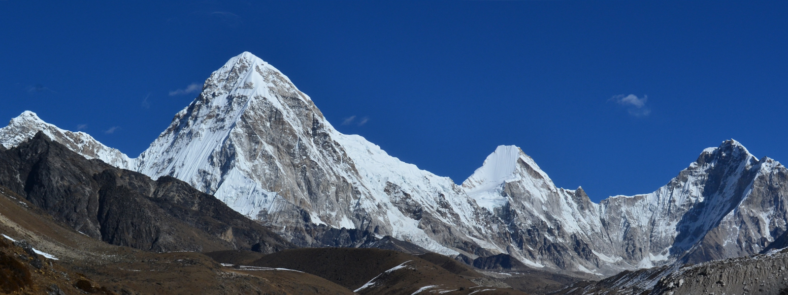
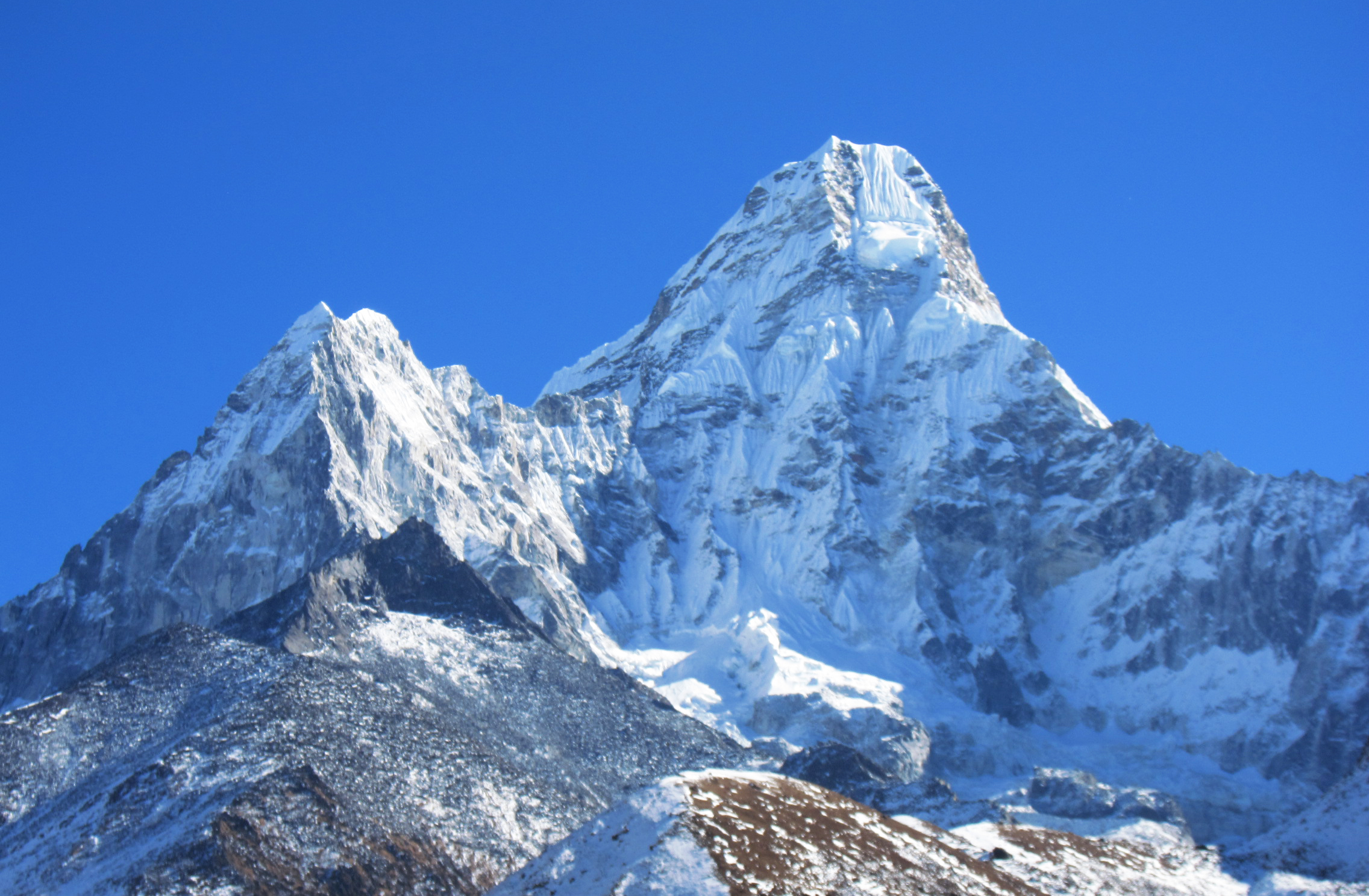
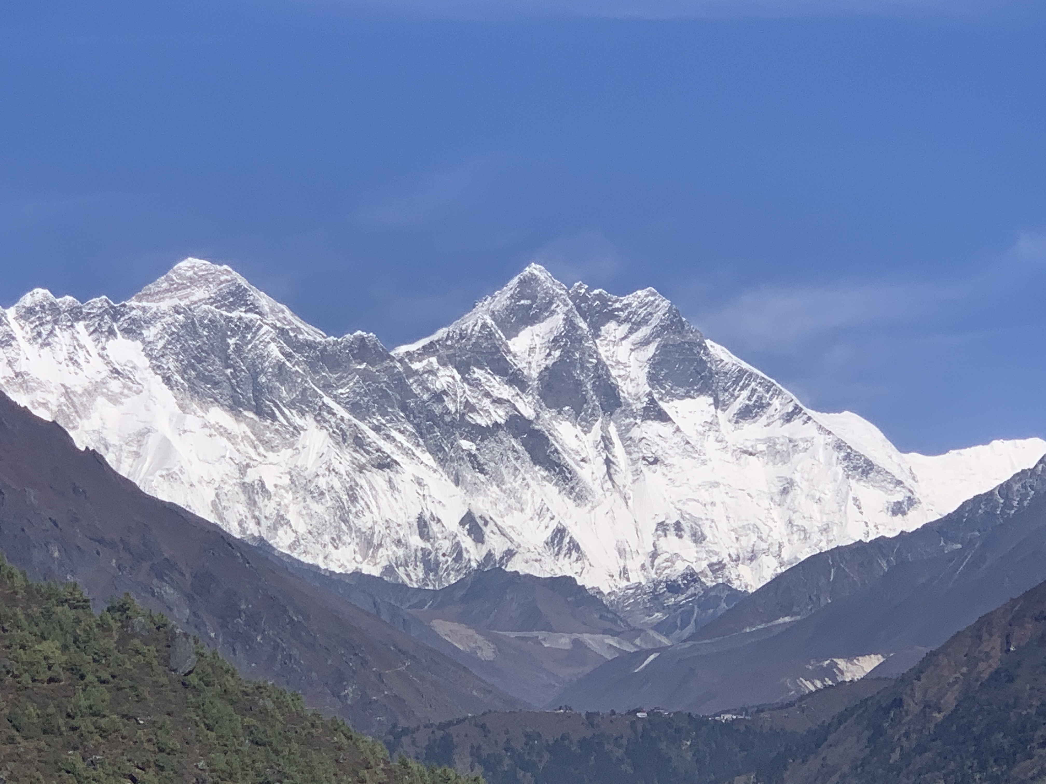
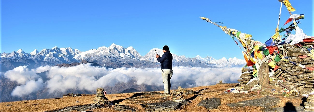
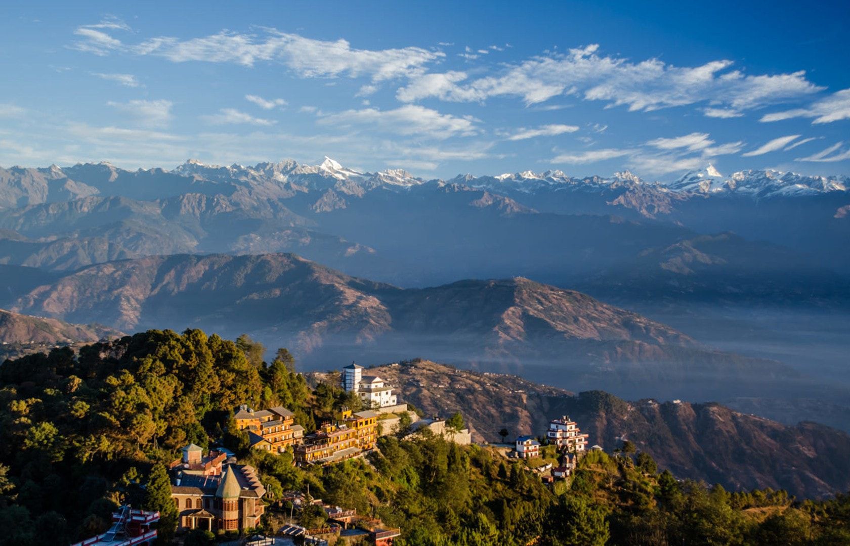
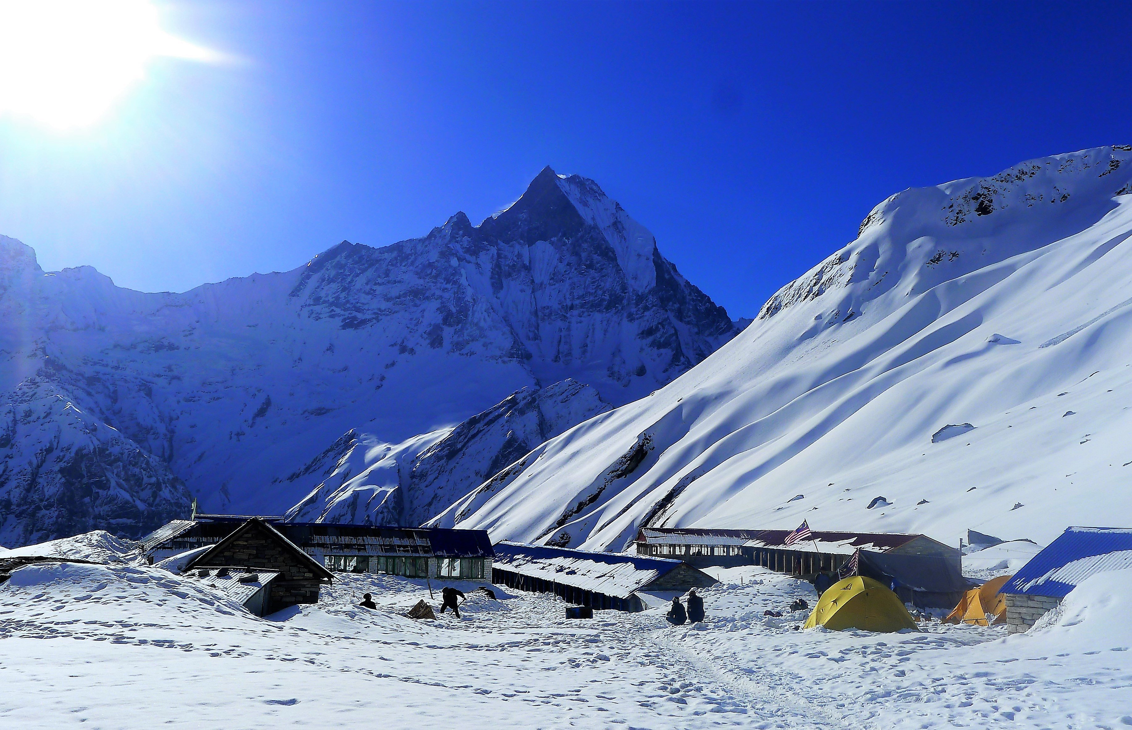
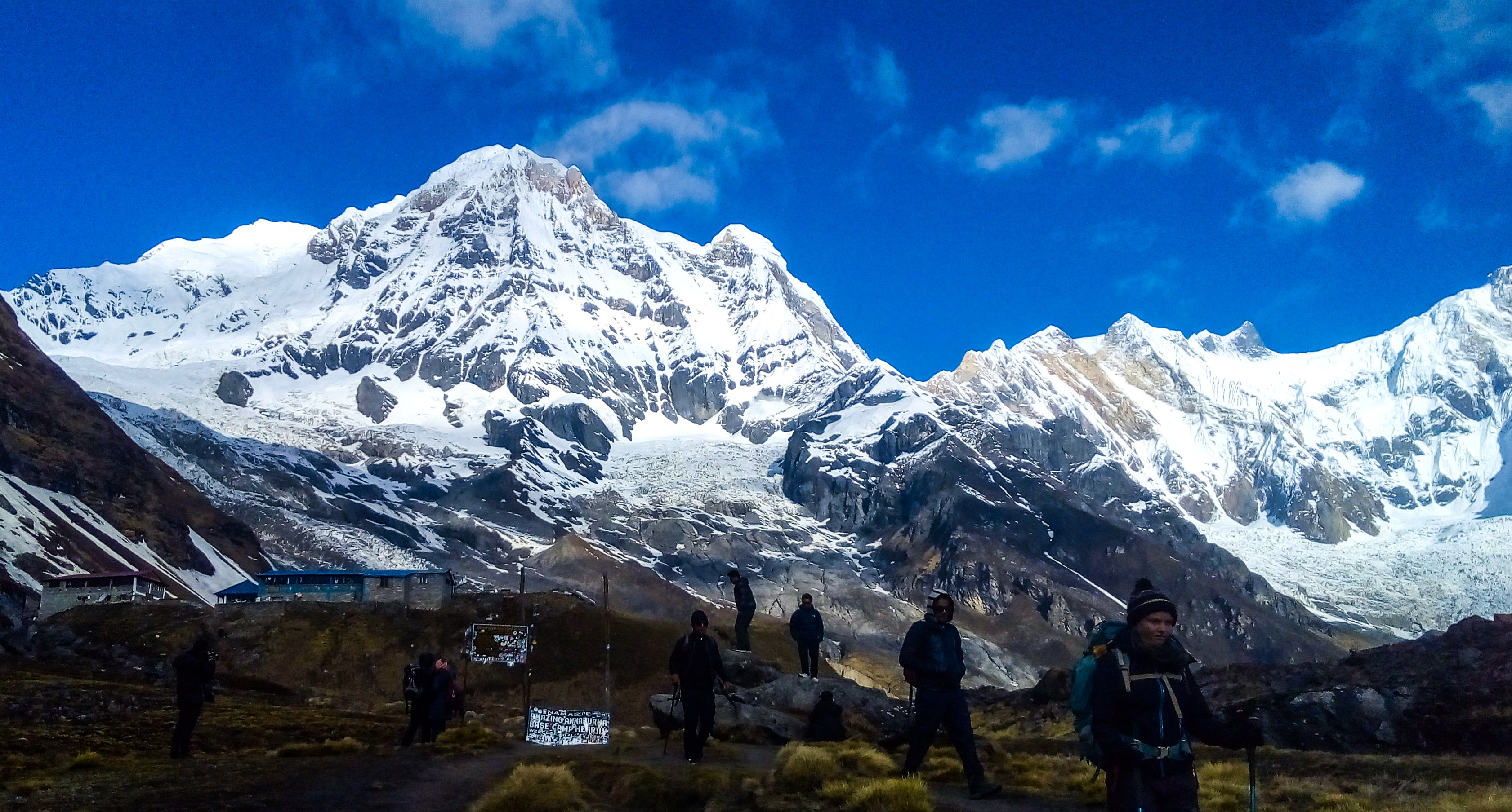
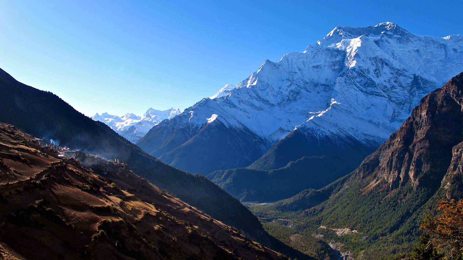
Gosainkunda pass trekking is situated close to the Tibetan border. It is remote valley enclosed by snow-capped mountains that ends in the peak of Langtang Lirung (7246m). Since the Gosainkunda pass trekking offers superb Himalayan views including of Langtang lirung, Dojre lakpa, Gaurishanker, Rolwaling himalayan range, Langtang Himalayan range and Annapurna himalayan range among others, asl well as the holy lake Gosainkund lake, Tibetan monasteries, wild animals such as mountain Thar, snow leopards, jackal, ted panda, rabbit, monkeys therefore, it has been on the centre of attraction among many tourists coming to Nepal. The Langtang forests are also well known for their wildlife, including red pandas, Himalayan black bear, wild boar and langur monkeys. Similarly, you also can sight monkeys between Syabru and Ghora Tabela. The views of snow capped mountains--Langtang Lirung, Pemthang Ri, Langshisha Ri, Dorje Lakpa, and Kangchenpo, Tilman's fluted peak seem really awesome.
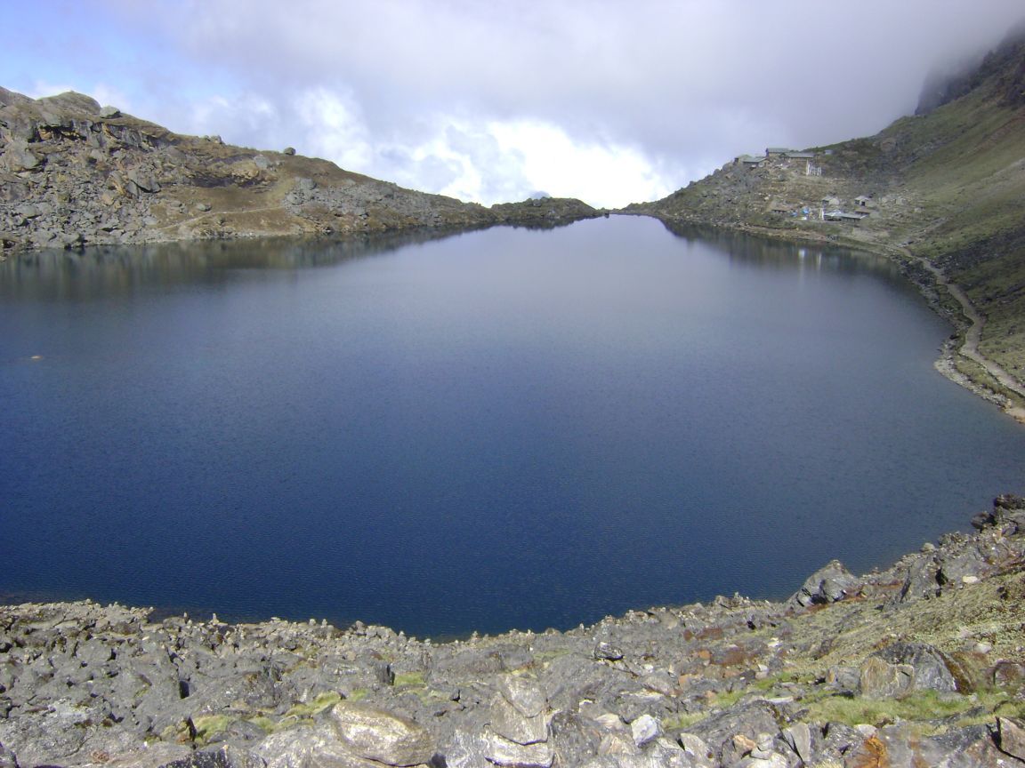
Gosainkunda Pass TrekkingThe trekking begins Syabru Bensi, which is seven or eight hour drive from Kathmandu, then we trek through larch and rhododendron forests which is rich in wild flowers and birds, explore the head of the valley getting close to the glacier system. Finally we climb on the nearby peak for amazing mountain views. Subsequently, from the place, we ascend up and pass the holy lake Gosaikunda and enter Helambu via the Laurebina pass (4610m). In between we can enjoy with the stunning views of Mt. Manaslu, Ganesh Himal and the Annapurna massif. During the trekking, we pass through the sub-tropical jungle, then a dense forest of oak, birch and pine, and the valley, which is of alpine meadows and yak pastures. When we descend from the upper Langtang Valley, we retrace the route back to Syabru village than continue trek to holy Gosainkund lake. After crossing Gosainkund pass (4610m), trail continues and leads to the Helambu valley then we make almost a circle going through Tharapati, Tarkeghyang, Sermathang to Melamchi pul bazaar then by private vehicle or by bus, we return back to Kathmandu.
Gosainkunda Pass Trekking Day to Day Itinerary
Day 01: Kathmandu to Chisopani (2140m)
Drive from Kathmandu to the Sundarijal northern edge of the Kathmandu valley for about 1 hour by private transport and start to hike up to Mulkharka, the sprawling Tamang settlement. The trail continues on a gentle climb through the forests ridges before it drops down to Chisopani (cold water) (2300m). situated on the ridge from where you can see countless snow peaks. The sunrise on the Himalaya, from Annapurna to Everest, is particulary outstanding from this point. Stay overnight there (4 hrs).
Day 02: Chisopani to Gul Bhanjyang (2140m)
The trail continues to drop down on a good, sometimes level and crosses meadows and fields to Pati Bhanjyang. This is a Brahman and Chhetri village on a saddle at the bottom of the ridge at 1860 meter. From here the trail starts climbing up again on a series of steep switchbacks to Chipling (2170m) where we can stop for lunch. At the upper end of this village the trail makes another steep, 200 meter, climb on a stone staircase to the top of the Jhogin Danda ridge. From the ridge the trail descends through forest to a large chorten (round Buddhist monument) overlooking the Tamang village of Gul Bhanjyang, which is a delightfull, classic hill village with a pleasant main street (5-6 hrs).
Day 03: Gul Bhanjyang to Tharepati (3640m)
From Gul Bhanjyang the first part of the trail climbs up a steep, eroded trail through rhododendron forest passing only a few shepherd’s huts to a pass at 2580 meter. The treks proceeds north up the Yurin Danda ridge and affords views of Langtang and Gosaikund Peaks. We will cross the pass at 3510 meter before we descent to Magen Goth where we stop for lunch. Afterwards, we pick up the ascending/descending trail again, passing through forests, across flower-strewn meadows and crossing streams till we reach Tharepati (3640m) (6 hrs).
Day 04: Tharepati to Melamchigaon (2530m)
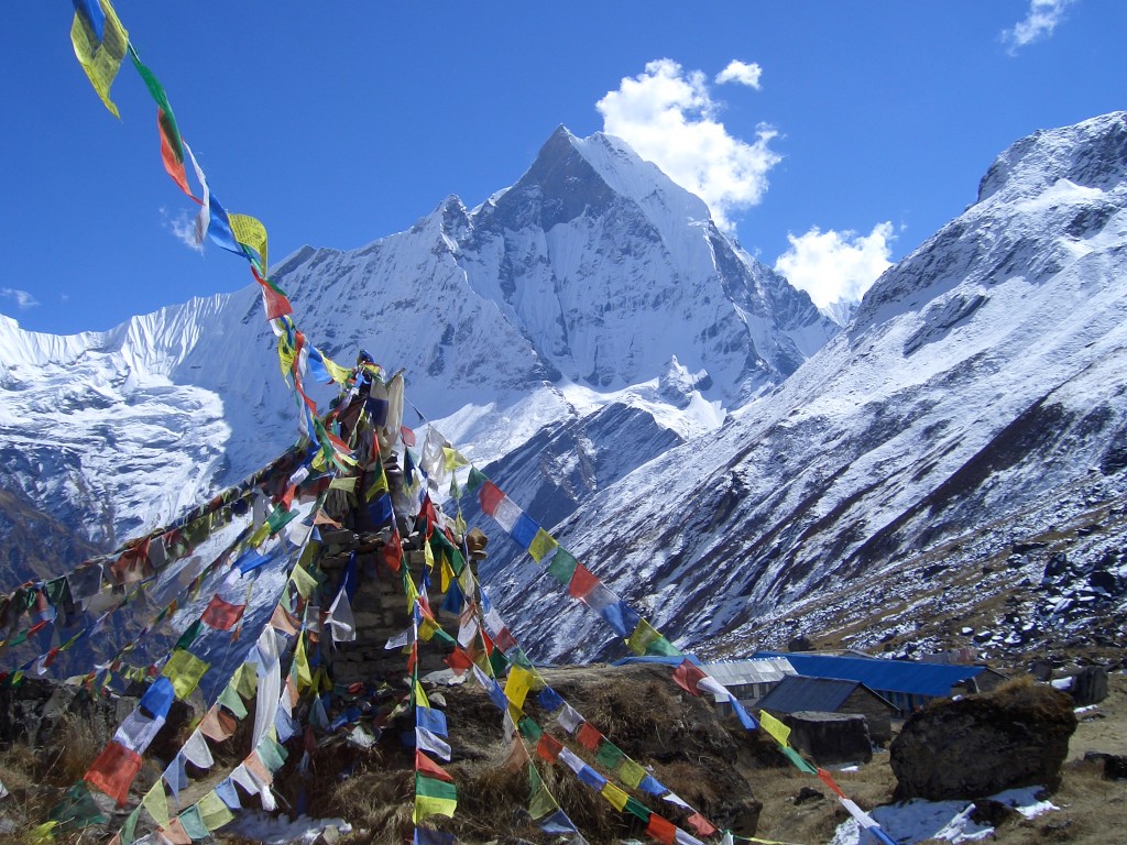
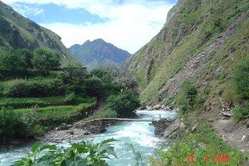
From the northeren end of the village the trail turns east and drops steeply into a ravine. Here the vegetation changes to large firs, then oaks and rhododendrons, as we rapidly loos altitude. After crossing the Chhyadi Khola on a suspension bridge, the trail makes a short final ascent to the prosperous Sherpa village of Malamchigaon at 2530m. We will arrive here early and the rest of today’s time can be spent strolling around the village. Melamchigaon is a large prosperous Sherpa village with extensive fields of barley, corn and potatoes. The gompa (Tibetan Buddhist temple) here has a line of prayer flags at the front, brightly painted walls and statues of Guru Rimpoche and his consorts. It is local believe that Guru Rimpoche mediated in a cave above the village and wore robes made by dakinis (female angels) (5 hrs).
Day 05: Melamchigaon to Tarke Gyang (2590m)
From the Melamchigaon gompa, the trail descends through jungle to a bamboo teashop at 2360 meter, then drops steeply through fields to the Malemchi Khola river. After crossing the suspension bridge at 1890m the trail begins its long climb towards Tarke Gyang, which is the largest village in the Helambu region. The stone house here are build close together with narrow alleyways separating them. The gompa of this village has a large brass prayer wheel (6 hrs).
Day 06: Tarke Gyan to Sermathang (2610m)
The trail leaves the village and makes a sweep around the wide valley to the pretty Sherpa village of Ganyul at 2520 meter. The people in this village practice Drukpa Kagyu Buddhism, the same as the national religion of Buthan. From here the trail drops over a ridge but soon starts climbing up again through deep forests, crossing a number of stream to a crest at 2620 meter. We continue our way passing the large gompa at Chumnik, before another gentle climb leads as to the village of Sermathang. In the afternoon we can visit the gompa here (4 hrs).
Day 07: Sermathang to Kathmandu via Melamchi Pul Bazaar
From Sermathang the trail follows the ridge all the way down to Malemchi Pul Bazaar, making a drop of 1730 meter. The trail passes chorten after chorten in the settlements of Nigale, Gyalsha and Raithani Gyang. From here we descent through chir pine forest to yet another chorten at Kakani, which is the last Sherpa village on the trek, and we now enter the lowlands inhabited by Brahmans and Chhetris. From Kakani the trail drops steeply to the attractive village of Dubhachaur in a saddle at 1610 meter. Continuing firther down the ridge our trail will eventually bring us to a large suspension bridge which crosses the Indrawati river and brings us into Malemchi Pul Bazaar. From here we will take private transportation back to Kathmandu (6 hrs walking time, 3-4 hrs to Kathmandu). Overnight stay at hotel.
