Manaslu Circuit Trek – 19 Days - 19 Days
Nepal - Trekking Tours

Tour Itinerary
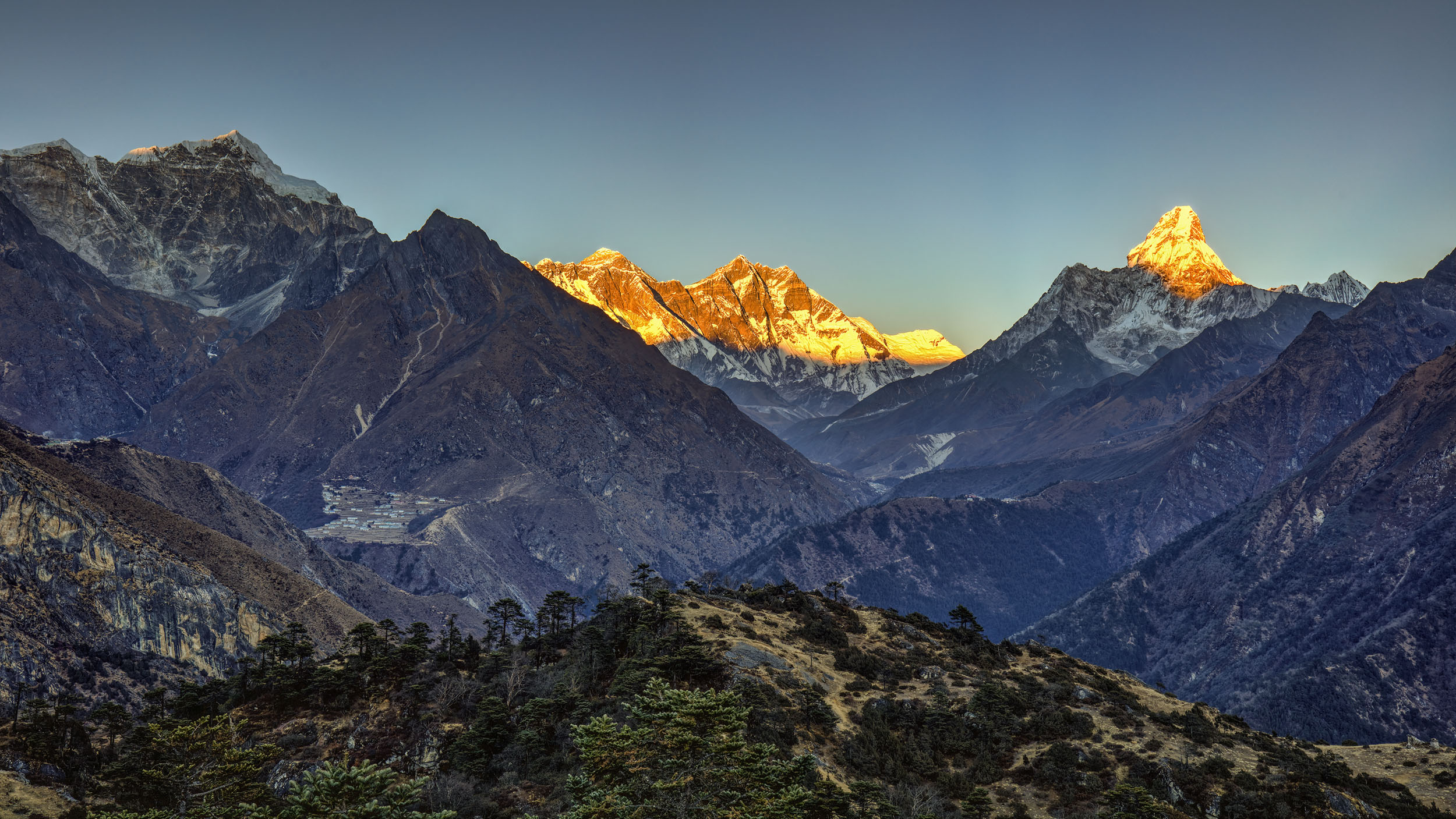
The strenuous trek around 8156m Manaslu, the world’s eighth highest mountain, is geographically spectacular and culturally fascinating and was officially opened to tourists in 1991.
Although the high pass in this region Larkya La ( 5100m) is not difficult to cross, the trek around Manaslu is harder than most other treks since at many places the walls of Buri Gandaki Valley are perpendicular due to which there are huge amount of wasted up and down climbs over the ridges or onto shelves to bypass cliffs.
Moreover the trail is rough and steep and it often literally hangs on a bluff high above the river. So this trek is not suggested to those who have the slightest tendency towards acrophobia.
Day to Day Itinerary
Day 1Arrival KATHMANDU (1300m/4265ft)
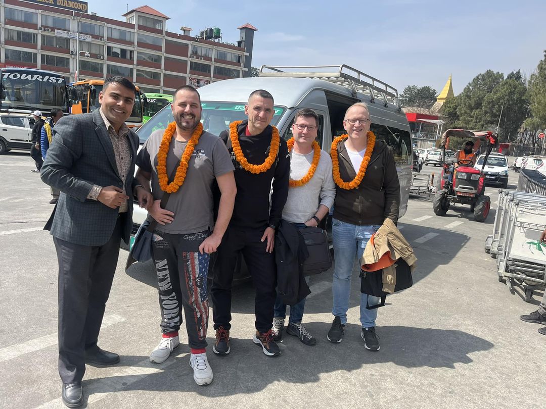
Arrive at Kathmandu International Airport where you will be warmly welcomed by our representative and check in to the hotel. The rest of the day is free to explore this historic and vibrant city. Overnight at hotel.Meals: NO
Day 2Acclimatize in KATHMANDU
In the morning after breakfast, a trip orientation meeting will be organized and there will be a full day guided tour around Kathmandu valley. Kathmandu, being a historical and cultural heart of Nepal, is a popular destination for tourists, trekkers and adventure seekers. The city presents a wonderful mixture of Hinduism, Tibetan Buddhism and Western influence in the Valley. In this tour we will see the glorious Newari architecture of old palace of Kathmandu Durbar Square and we will join the pilgrims around the enormous Boudhanath Stupa and Swayambhunath Stupa and then to the Nepal’s most important Hindu temple Pashupatinath temple that stands on the bank of the holy Bagmati river. Last minute shopping can also be done this day. Overnight at hotel. Meals: Breakfast, Welcome Dinner
Day 3Drive to ARUGHAT BAZAR (600m/1969ft)
We drive to Arughat Bazar which is a bustling market town cut in half by the Buri Gandaki River. Overnight at tented camp. Meals: Breakfast, Lunch, Dinner
Day 4Trek to SOTI KHOLA (710m/2330ft) 5-6 hours/220m ascent, 110m descent
To begin the trek from Arughat we turn west across the bridge over the Buri Gandaki. We pass the stone buildings of the hydroelectric power plant and walk through fields of rice and millet to Maltar. We continue our trek past through forests full of monkeys to Sante Bazar with a view of Sringi Himal (7187m) up the valley. Now the trail becomes more difficult as the trail crosses the Arkhet Khola on a suspension bridge and we pass through Arkhet (760m) to a stone paved trail that climbs through fields and descend to a high, cascading waterfall to make a long, steep slog up a ridge to Kyopani, a small Magar and Gurung village at 820m.From here the trail descends to Soti Khola where there is a good swimming hole and waterfalls. Overnight at tented camp. Meals: Breakfast, Lunch, Dinner
Day 5Trek to MACHHA KHOLA (900m/2953ft)
Crossing the bridge and making our way through beautiful sal forests, we climb onto a ridge above high rapids on the Buri Gandaki and the route gets a bit more precarious as it passes over a big rock and crosses a stream and after few ups and downs past two tropical waterfalls on a steep, rocky trail that makes its way down and past a few rice terraces to reach a Gurung village of Labubesi (880m). We drop to a sandy riverbed at 860m and walk along rounded stones before climbing about 110m over a side ridge and we head down again to the river and traverse to the village of Maccha Khola. Overnight at tented camp. Meals: Breakfast, Lunch, Dinner
Day 6Trek JAGAT (1410m/4626ft)
Now the trail eventually crosses the Tharo Khola, flowing in a rocky ravine, and then reaches Khorlabesi having fields of tobacco, wheat and buckwheat. The valley is extremely steep and the trail climbs over a small ridge and again climbing steeply we descend and after more ups and downs we reach a small trailside hot spring from where the route takes us to Tatopani (930m). From this hot spring the trail climbs over another ridge and then crosses the Buri Gandaki on a suspension bridge from where we climb staircase to come across a landslide and over a ridge we reach a village of Doban (1000m). Now crossing a long suspension bridge and then a big landslide we find ourselves atop a ridge from where the trail descends and reach Yaru Khola (1330m) where we cross a 93m long suspension bridge over the Yaru Khola and after ups and downs of stone stairs we reach Tharo Bhanjyang. Now we cross the west bank of the Buri Gandaki, climb over a ridge and trek along the river for a while and climb to the compact village of Jagat. Overnight at tented camp. Meals: Breakfast, Lunch, Dinner
Day 7Trek EKLE BHATTI (1600m/5250ft) 4-5 hours, 270m ascent
From Jagat we go quite a distance upstream and cross the suspension bridge and climb over a ridge to a settlement of Salleri (1440m). As we continue up along the side of a cliff we have good views of Sringi Himal. The trail descends to Setibas (1430m), where a decrepit stone kani and several mani walls indicate that the trail is now entering a region of Tibetan influence, although the people are still Gurungs. Now the trail continues up to the stone houses of Ghatta Khola from where the trail continues to cross the bridge and climb up to a large Gurung village of Philim (1590m) having corn and millet fields. The trail turns north and stays fairly level as it traverses millet fields to Ekle Bhatti. Overnight at tented camp. Meals: Breakfast, Lunch, Dinner
Day 8Trek DENG (1800m/5906ft) 3-4 hours; 280m ascent, 80m descent
Beyond Ekle Bhatti the route enters a steep, uninhabited gorge. Crossing through grassy slopes dotted with pine trees and then the blue metal bridge over Buri Gandaki River, trekking along river banks and climbing over ridges and descend to the river, the trail takes us to the pleasant walk through bamboo forests to the Deng Khola and we finally reach a Gurung village of Deng. Overnight at tented camp. Meals: Breakfast, Lunch, Dinner
Day 9Trek GHAP (2160m/7087ft) 3-4 hours; 420m ascent, 120m descent
Recrossing the Buri Gandaki we reach the north bank and climb to Rana (1980m) and climbing on steps past a waterfall and crossing two streams the trail darts in and out of two ravines, then climbs high above the river before dropping into the Sringi valley. We cross the Sringi Khola at 1990m on a funky suspension bridge, then climb steeply and traverse above the Buri Gandaki where it flows between vertical rock walls. The trail now makes more ups and downs in forests, passing a mani wall, and then turns a corner and contours to Ghap. The mani wall in Ghap has particularly elegant carvings that depict the Buddha in various meditative poses, as well as the Tibetan saint Milarepa. Overnight at tented camp. Meals: Breakfast, Lunch, Dinner
Day 10Trek to LHOGAON (3180m/10434ft) 6-7 hours; 1290m ascent, 210m descent
Our route cuts across fields and heads into the woods and pass three streams in a forest of big firs alive with birds, including the National bird of Nepal Danphe. On the north side of the river is the Tom Khola which flows in a deep gorge from Tibet. We climb alongside the river past two long mani walls to a waterfall and then we climb over a large rock to avoid one big mud hole, and then continue up through deep forests of fir and rhododendron. In the middle of the forest is a wooden bridge that spans the Buri Gandaki at 2240m crossing which is made more exciting by mist rising up from the valley and the lack of handrails on the bridge. The trail takes us to a big rock cave and crosses the river again on another wooden bridge at 2510m under the watchful eyes of a tribe of grey langur monkeys. Now the trail takes us to a long serious climb through bamboo and rhododendron forests, finally entering Namrung (2660m) through a stone archway. Beyond Namrung the trek enters upper Nupri where the dialect changes to a form of Tibetan and people dress in Tibetan style wraparound cloak. We climb past mani wall and fields to reach Basram, then up through the forests of firs, rhododendrons and oaks to a promontory. Now the trail passes through a stone arch and wheat fields to reach Lihi (2900m). From here we make a long sweep into a wooded canyon and cross the Hinan Khola on a double span cantilever bridge to reach Sho (2960m). The views now start to get spectacular. Manaslu, Manaslu North (7157m) and Naike Peak (5515m) appear at the head of the valley. The trail crosses the small ravine and wheat fields to reach a small settlement of Shrip and climbing past a small stream we reach a big village of Lhogaon with a gompa and spectacular views of Manaslu. Overnight at tented camp.Meals: Breakfast, Lunch, Dinner
Day 11Trek SAMAGAON (3530m/11582ft)
Now we drop down and cross the bridge of Damonan Khola, and then ascend again. From here we take the right hand trail that follows the north fork of the stream up for a long distance through damp forests on either muddy or icy ground and finally reach a plateau at Shyaula (3520m) with a wide vista of Himalchuli (7893m), Ngadi Chuli (7879m)and Manaslu. Now crossing the total desolation area of acres of blackened stumps of trees we cross a ridge and trek in and out of the canyon of the Thosang Khola, then descend onto a rock strewn moraine and cross through boulders and fields to reach Samagaon that has a large village gompa and crops grown are only potatoes and barely. Overnight at tented camp. Meals: Breakfast, Lunch, Dinner
Day 12Trek SAMDO (3860m/12665ft)
Walking west beside the stream we head for the Kargyu Chholing Gompa climbing up to many buildings and residences. This is a Nyingma gompa with eight separate temple buildings out of which the biggest one is Pemba Chholing Gompa which houses a large statue of Guru Rinpoche. Now the Larkya La trail passes through several mani walls and juniper and birch forests and the stone huts at Kermo Kharka. Then it gets rougher as it reaches a ridge where yak trains have ground the trail into mush and then we drop off the shelf, cross the Buri Gandaki on a wooden bridge and climb steeply between two forks of river and now passing through kani we reach Samdo, nestled behind a ridge. Overnight at tented camp. Meals: Breakfast, Lunch, Dinner
Day 13Trek LARKYA PHEDI (4480m/14699ft) 3-4 hours; 630m ascent
From Samdo we descend on a wide gentle trail past many fields to a large mani wall and stone archway to cross a wooden bridge at 3850m. A fine, old mani wall marks the start of the climb to Larkya La. We climb gently through tundra and juniper opposite the huge Larkya Glacier that drops from Manaslu North. Staying high on the ridge to the right we find a trail that crosses the top of two large ravines from where the trail gets steeper and climbs the side of a ridge to about 4000m, where there is a viewpoint at the edge of huge gorge. We climb in and out of the gorge and contour to the only shelter on the route before the pass, Larkya Rest House at Larkya Phedi. Overnight at tented camp. Meals: Breakfast, Lunch, Dinner
Day 14Trek LARKYA PASS (5100m/16733ft); Down to BIMTANG (3720m/12205ft) 7-9 hours, 810m ascent, 1570m descent
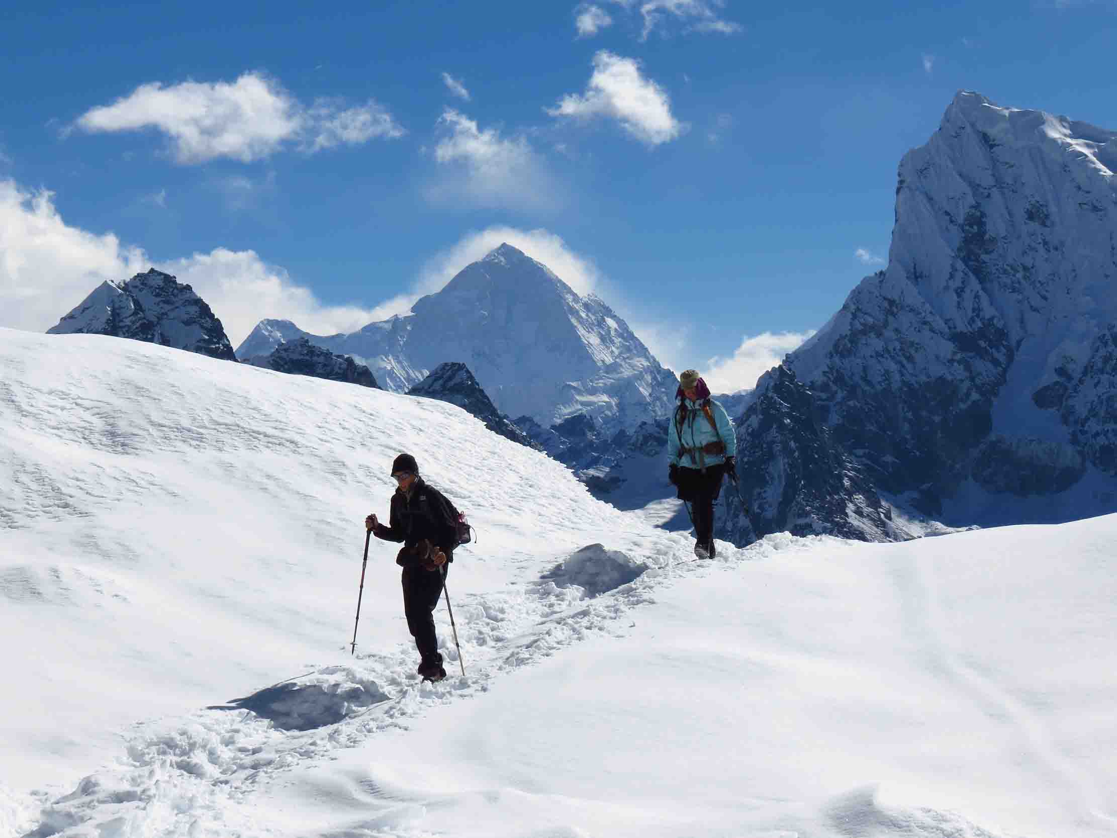
Starting early in the morning we head for long gentle climb beside a moraine. We cross a small ridge, descend a bit to a lake and keep climbing the ridge until we reach the top of the moraine at 4690m. Crossing rough and indistinct steep and grassy slopes and descend to four frozen lakes, then make the final steep climb to the Larkya La from where the views are tremendous. The peaks to the west of the pass are Himlung Himal (7126m), Cheo Himal (6820m), Gyaji Kung (7030m), Kang Guru (6981m) and Annapurna II (7937m). Now the descent begins along the top of a moraine to the west, then drops steeply and traverses scree slopes to a long set of steep, rough switchbacks. If there is snow we will have to fix a rope on the steepest stretch. Once off the top the trail crosses the moraine and descends more gently to a final long, steep, slippery descent on loose gravel to Taubuche (4450m) from where the easy trail descends through grassy moraine to a small meadow and a spring at 4080m. Now the turn turns a corner, the valley becomes larger and the trail heads down to a large meadow, a mani wall at Bimtang which is a huge valley rounded by high peaks and we might hear many avalanches during the night. Overnight at tented camp. Meals: Breakfast, Lunch, Dinner
Day 15 Trek down TILJE (2300m/7546ft)
The trail drops from Bimtang and crosses a glacial stream, the headwaters of the Dudh Khola, on a wooden bridge. We climb over the side of the moraine and descend into a beautiful pine and rhododendron forest to Hompuk (3430m). Now the trail descends, switchbacking down to a fork of the Dudh Khola, then follows the river through forests to a herders hut at 3030m and finally reach Karache (2700m). We cross through fields to make a steep climb over a decorated ridge, while the river loops around in “S” shape below and then we reach a village of Gho (2560m) from where the trail continues through fields, over a clear stream and rhododendron and oak forests and staying on the north bank of Dukh Khola we climb over a small ridge to reach a large Gurung village of Tilje. Overnight at tented camp. Meals: Breakfast, Lunch, Dinner
Day 16Trek down SYANGE (1080m/3543ft)
We leave the village through a stone arch, cross the Dudh Khola and trek along the river embankment. As the trail descends through scrub forests, the wall of the Marsyangdi Valley looms larger. We cross a wooden bridge back to the northern side of the Dudh Khola at 1930m and climb up through arch and mani wall to reach village of Thonje from where we turn left, cross a long suspension bridge over the Marsyangdi River to get to Dharapani (1920m) from where we descend to another village of Karte (1850m). Descending past fields and stand of bamboo and rhododendrons we reach Chamje (1410m) and we move downhill again to find ourselves at a village of Jagat and finally we reach Syange. Overnight at tented camp. Meals: Breakfast, Lunch, Dinner
Day 17Trek down BHULBULE (840m/2756ft) 4-5 hours; 250m ascent, 490m descent
Descending downhill following through the Marsyangdi Khola south into villages with rice terraces we reach Bhulbule crossing the Brahmin settlement of Bahundanda (1270m) which is a attractive village in the saddle of a long ridge and Ngadi ( 900m ) respectively. Overnight at tented camp. Meals: Breakfast, Lunch, Dinner
Day 18Drive back KATHMANDU
From Bhulbule we drive back to Kathmandu. This is a leisure day which can be utilized buying gifts and souvenirs for your friends and family. In the evening you will be invited to join FAREWELL reviewing great photos and share experiences of the trip. Overnight at hotel. Meals: Breakfast, Farewell Dinner
Day 19Fly back HOME or extend your HOLIDAYS
If you prefer to stay longer, you can consult us for short tours such as game drive at National parks, rafting, mountain biking, Tibet, India or Bhutan tours etc. Meals: Breakfast
***Flights are not included in this tour
Price Includes
All airport/hotel pick up and drop in private car/van
3 Nights in Kathmandu including breakfast,3 star hotel Accommodation
15 Nights stay in Tea House/Basis Guest House
Kathmandu city tour in private car/van
An experienced English speaking Trekking Guide and a Porter during trek. 2 Trekkers=1 Porter
Salary, food, insurance and lodging cost for guide and porter
Breakfast, Lunch, Dinner and Tea/Coffee during trek.
Welcome and Farewell Meals and Breakfasts while in Kathmandu/Pokhara
National Park Permit and TIMS.
Drive from Kathmandu to Arughat Bazar and from Bhulbhule to Kathmandu in private car/van.
Down Jacket and Sleeping Bag that needs to be returned to office after trek completion.
Manaslu Special Permit
Kathmandu to Arughat Bazzar by Private Jeep and return from Besishar to Kathmandu
Driver. his salary, meals and accommodation
Fuel, Road Taxes and Parking Fees.
Price Excludes
Nepal entry visa fee
International airfare and departure tax.
Bar bills, laundry and other expenses of personal nature.
Travel insurance including evacuation.
Lunch and dinners in Kathmandu except welcome and farewell meals.
Tips for local staffs, guides and porters.
Desserts, Hot Water, Hot Shower, Mineral Water, Wi-Fi,
Entrance Fees in Kathmandu.


