6 Days Machame Route - 6 Days Machame Route
Tanzania - Hiking Tours
Tour Itinerary
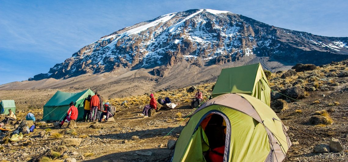
The Machame Route, often referred to as the "Whiskey Route," is one of the most popular paths to the summit of Mount Kilimanjaro. Known for its scenic beauty and diverse ecosystems, this route offers a more challenging trek with a mix of camping and stunning views. The six-day itinerary allows for better acclimatization, increasing your chances of reaching the summit.
Day 1: Machame Gate to Machame Camp
• Elevation: 1,640 m (5,380 ft) to 2,835 m (9,300 ft)
• Walking Time: 5-6 hours
• Distance: 11 km (6.8 miles)
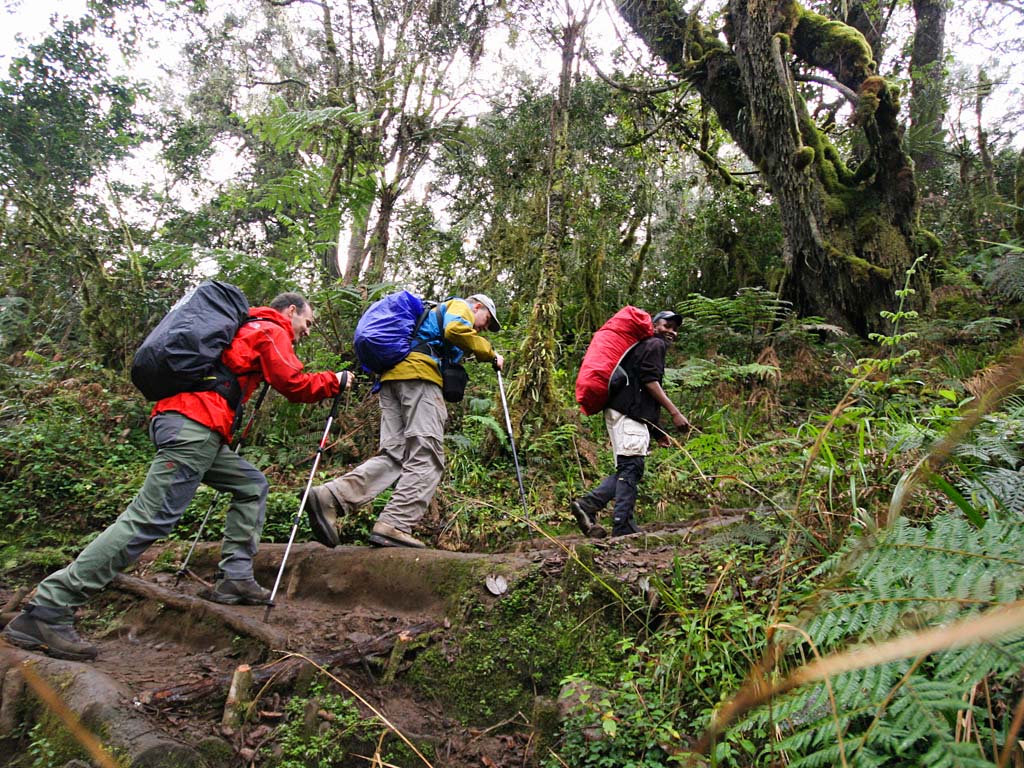
• Terrain: Rainforest
Detailed Overview: Your adventure begins at Machame Gate, where you will register and meet your guide and porters. The trail starts through lush rainforest, characterized by tall trees, vibrant vegetation, and the sounds of birds and monkeys. The path is well-maintained but can be muddy, so wear sturdy hiking boots.
As you ascend, take breaks to enjoy the stunning flora and the occasional views of the mountain peeking through the trees. Machame Camp is situated in a beautiful clearing, where you’ll set up tents and enjoy dinner with your trekking group. This evening is a great time to relax and prepare for the days ahead.
Day 2: Machame Camp to Shira Camp
• Elevation: 2,835 m (9,300 ft) to 3,850 m (12,600 ft)
• Walking Time: 4-5 hours
• Distance: 9 km (5.6 miles)
• Terrain: Moorland
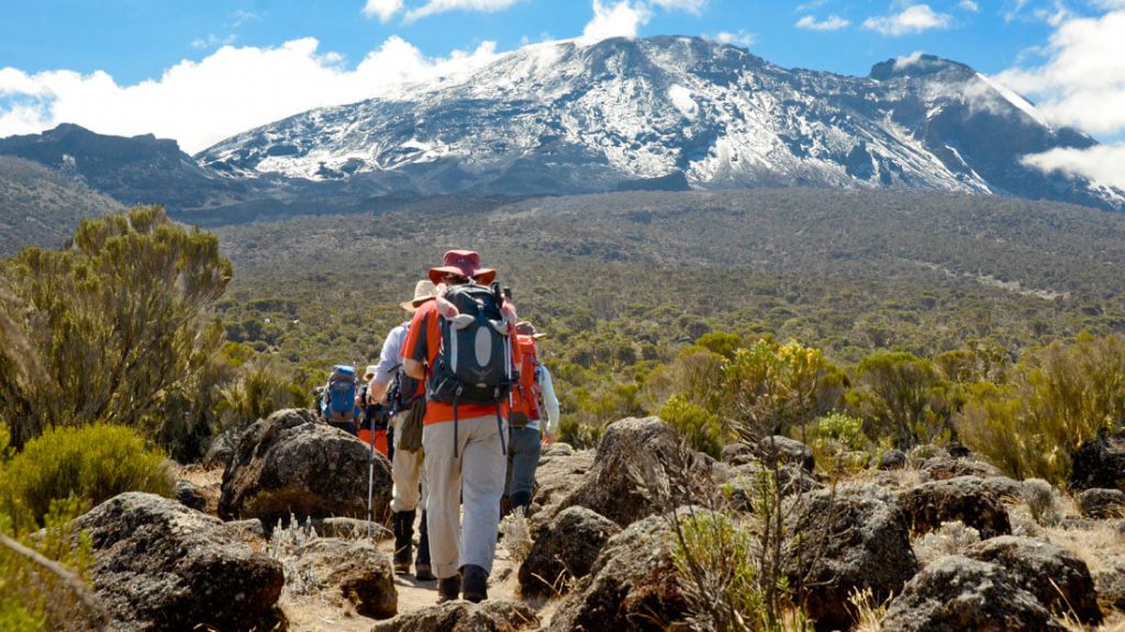
Detailed Overview: After breakfast, you’ll continue your trek toward Shira Camp. The trail winds through moorland, offering expansive views of the surrounding landscapes and the majestic Kibo Peak. The terrain is rocky and often exposes you to more sunlight, so be sure to wear sunscreen and a hat.
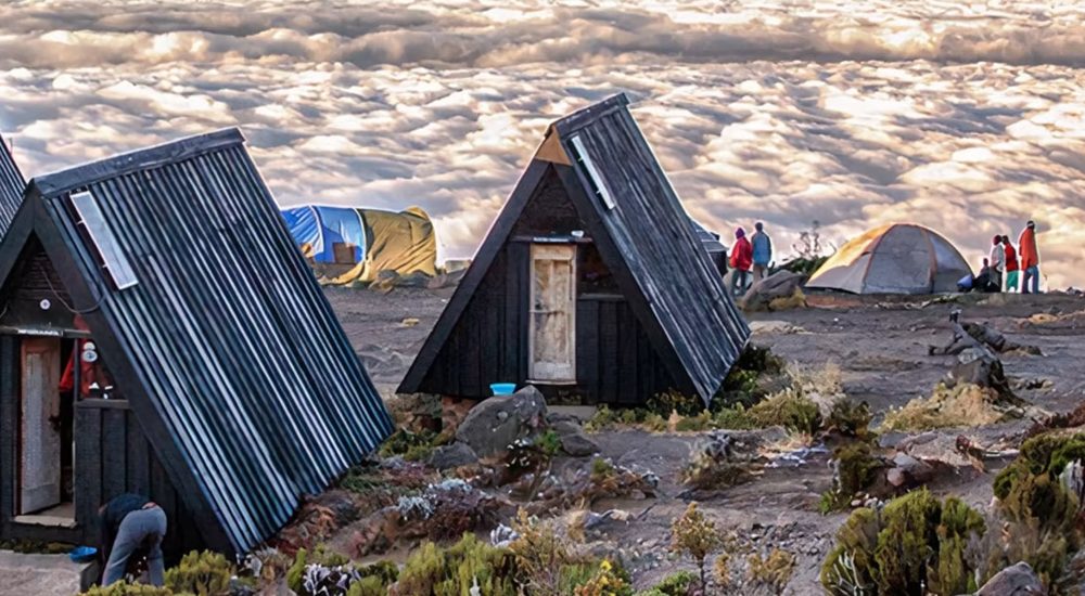
As you hike, keep an eye out for unique plants, including giant heathers and the striking lobelias. Upon reaching Shira Camp, take time to explore the area and enjoy the stunning views. This camp is situated on the Shira Plateau, which provides an incredible perspective of the mountain.
Day 3: Shira Camp to Barranco Camp (via Lava Tower)
• Elevation: 3,850 m (12,600 ft) to 4,600 m (15,100 ft) then descend to 3,960 m (13,000 ft)
• Walking Time: 7-8 hours
• Distance: 10 km (6.2 miles)
• Terrain: Alpine desert
Detailed Overview: Today’s trek includes an ascent to Lava Tower, a striking rock formation that offers stunning views of the surrounding areas. After breakfast, you’ll climb to an elevation of 4,600 m (15,100 ft), which helps with acclimatization.
After enjoying lunch at Lava Tower, you’ll descend to Barranco Camp. This day is crucial for acclimatization as you gain altitude and then descend, which helps your body adjust to the thinner air. Barranco Camp is located in a lush area surrounded by vegetation and has stunning views of the Barranco Wall.
Day 4: Barranco Camp to Karanga Camp
• Elevation: 3,960 m (13,000 ft) to 4,035 m (13,250 ft)
• Walking Time: 4-5 hours
• Distance: 5 km (3.1 miles)
• Terrain: Rocky and steep
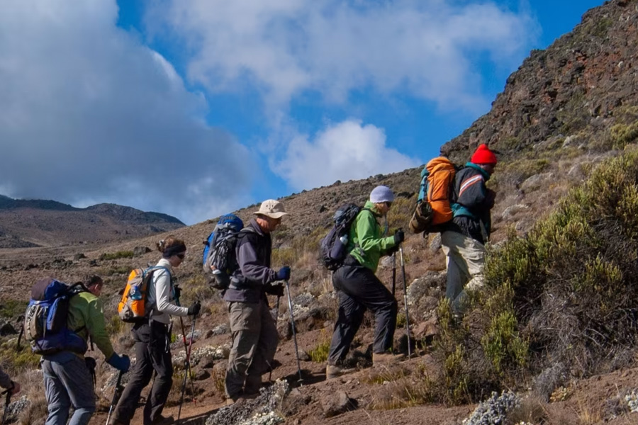
Detailed Overview: The trek begins with a challenging climb up the Barranco Wall, a steep ascent that requires some scrambling. The views from the top are rewarding, showcasing the surrounding valleys and peaks. This section is often considered one of the highlights of the Machame Route.
After conquering the wall, you’ll continue toward Karanga Camp, a relatively short distance away. The terrain becomes more varied, with rocky paths and occasional vegetation. Once at camp, you can relax and prepare for the next day’s ascent.
Day 5: Karanga Camp to Barafu Camp
• Elevation: 4,035 m (13,250 ft) to 4,673 m (15,300 ft)
• Walking Time: 4-5 hours
• Distance: 4 km (2.5 miles)
• Terrain: Alpine desert
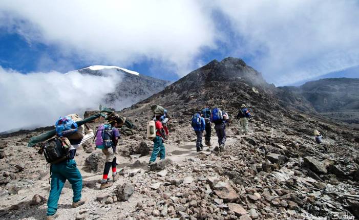
Detailed Overview: Today’s trek to Barafu Camp is short but steep, as you ascend into the alpine desert zone. This area has fewer plants and more rocky terrain, with incredible views of Kibo Peak as you approach your final campsite before the summit.
Barafu Camp is situated on a ridge, and it can be quite windy. It’s essential to rest and hydrate well, as you will be starting your summit attempt later that night. After an early dinner, try to get some rest before your midnight wake-up call.
Day 6: Summit Day - Barafu Camp to Uhuru Peak and descent to Mweka Camp
• Elevation: 4,673 m (15,300 ft) to 5,895 m (19,341 ft) then descend to 3,100 m (10,171 ft)
• Walking Time: 12-15 hours (round trip)
• Distance: Approximately 22 km (13.7 miles) (round trip)
• Terrain: Scree and rocky path
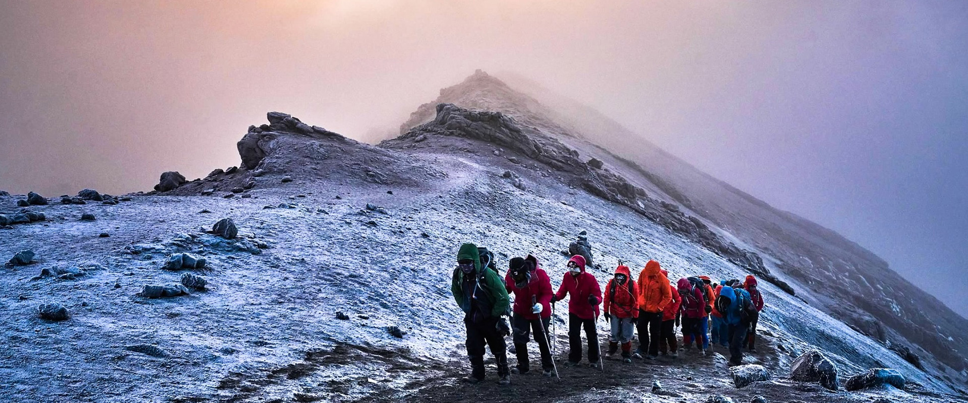
Detailed Overview: You’ll wake up around midnight for the final push to Uhuru Peak. After a light snack and some hot drinks, you’ll start the ascent. The climb is steep and challenging, with loose scree and rocky paths, but the excitement of reaching the summit keeps you motivated.
As you ascend, the air gets thinner, so take frequent breaks and focus on your breathing. The goal is to reach Stella Point by sunrise, which provides a spectacular view of the horizon. From Stella Point, it’s about an hour to Uhuru Peak, the highest point in Africa. Take time to celebrate, take photos, and enjoy the breathtaking views.
Afterward, begin your descent back to Barafu Camp for a quick rest before continuing down to Mweka Camp. This final day is long and tiring, but the sense of accomplishment and the memories of the summit will make it all worthwhile.
